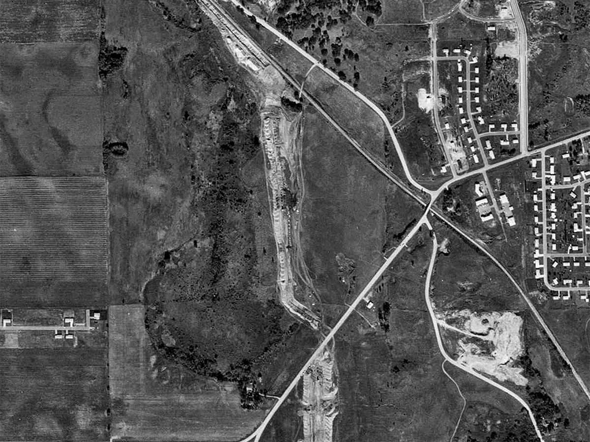
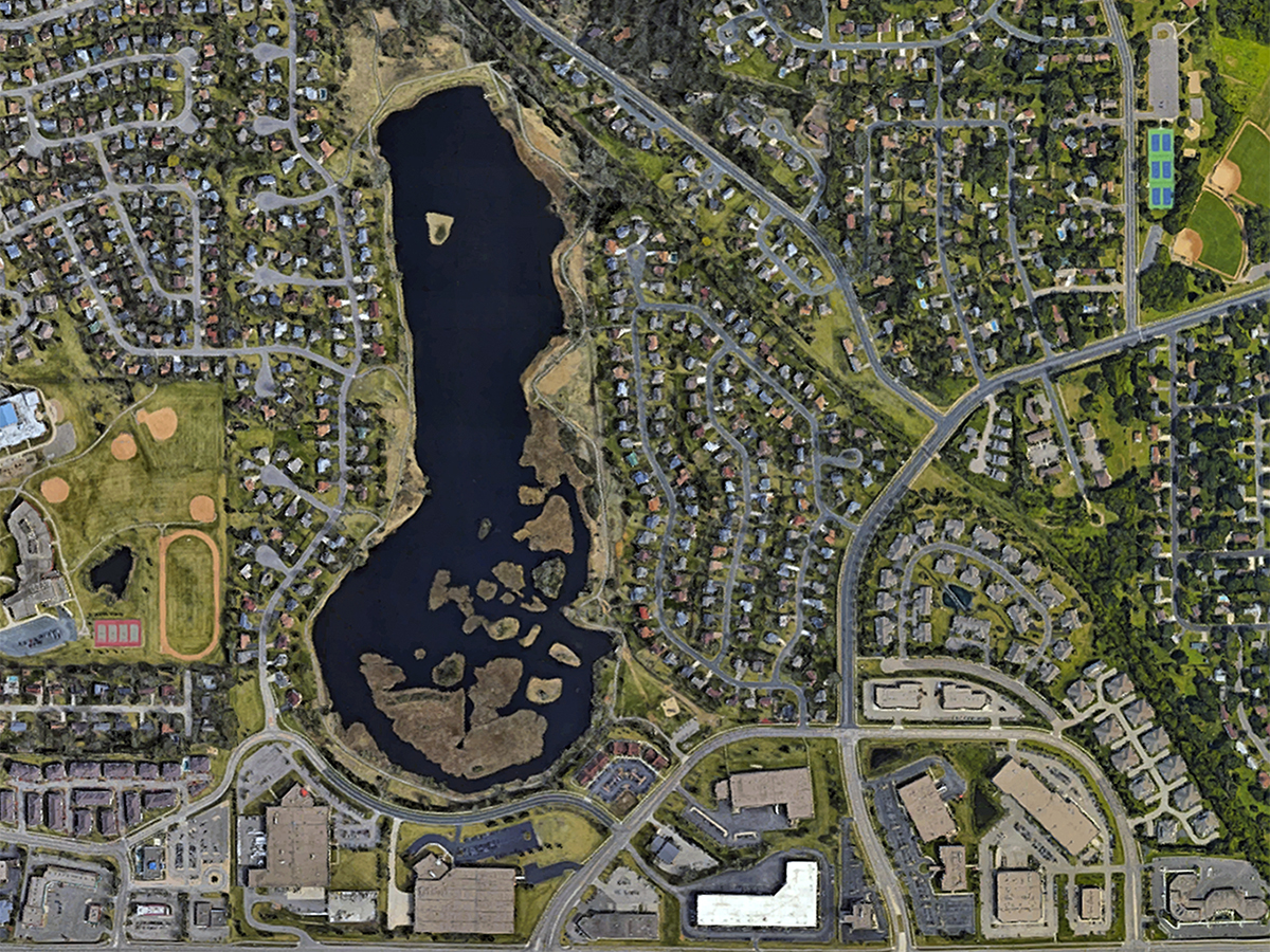
Sunset Pond and Billy Goat Bridge: 1970 and 2016
History Revealed (drag red divider left and right

You're looking at a part of west Burnsville. Savage appears at left, as about one-fifth of the image, while Burnsville takes up the remainder.
This comparison slider came about after a Facebook posting of the orginal U.S. Government Survey of 1855. A sharp-eyed visitor caught the absense of Sunset Pond on that survey.
Since this body of water is larger than Earley Lake, it did seem puzzling. So we looked at the earliest aerial photograph from 1937 - no sunset Pond. Subsequent aerial photos, in the 40s, 50s and 60s were checked. Still no Pond. Even the 1970 photo, the last before satellites took over the job, lacked a Sunset Pond.
In all of the old views the outline of a low area, a natural drainage, is evident. But one can see signs of activity, plowing and human use. A close look at the 1970 photo used here is fascinating because houses have begun to appear. Things are stirring. Once again we see Billy Goat Bridge over the Dan Patch line at center-right.
We need to dig deeper to find out when Burnsville decided to develop this wonderful lake and park! If you know, please comment by email or on Facebook.
History Revealed (drag red divider left and right