Welcome to Maps!
Our map collection comprises two main categories:
1) Exploration Maps, and
2) Burnsville Maps, including survey maps and Plat maps. For the uninitiated, plat maps are valuable to historians because they provide ownership information.
Click on the thumbnail for a quickview, or
click the link to be taken to a "best source" for additional study.
More maps will be added as time permits.

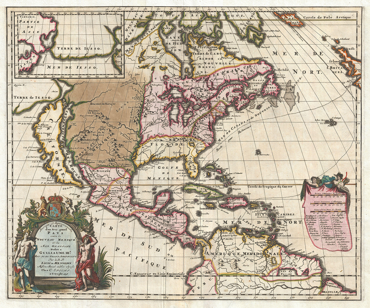
Hennepin 1698
Starting in 1679 Father Louis Hennepin accompanied La Salle in a great exploration. (He was actually ordered to go along.) La Salle believed there must be a way to the Pacific by water. This map, based upon exploration by is best known for its remarkable and highly influential rendering of the Great Lakes and the Mississippi Valley

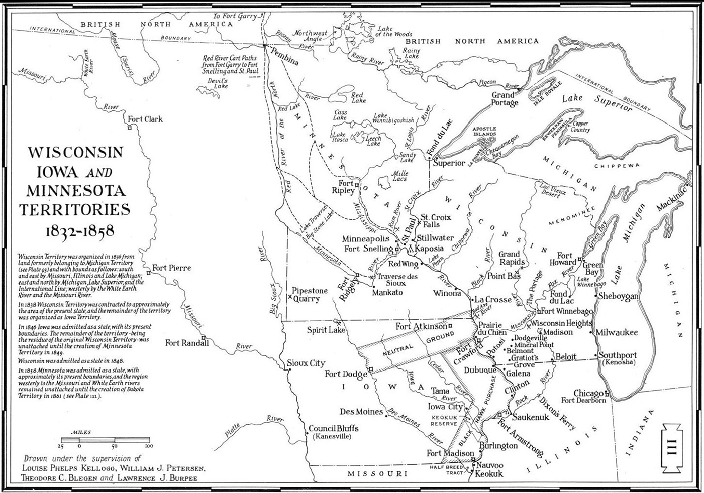
1838 Territories Map
Starting in 1679 Father Hennepin accompanied La Salle in a great exploration. La Salle believed there must be a way to the Pacific by water. This map, based upon exploration by is best known for its remarkable and highly influential rendering of the Great Lakes and the Mississippi Valley

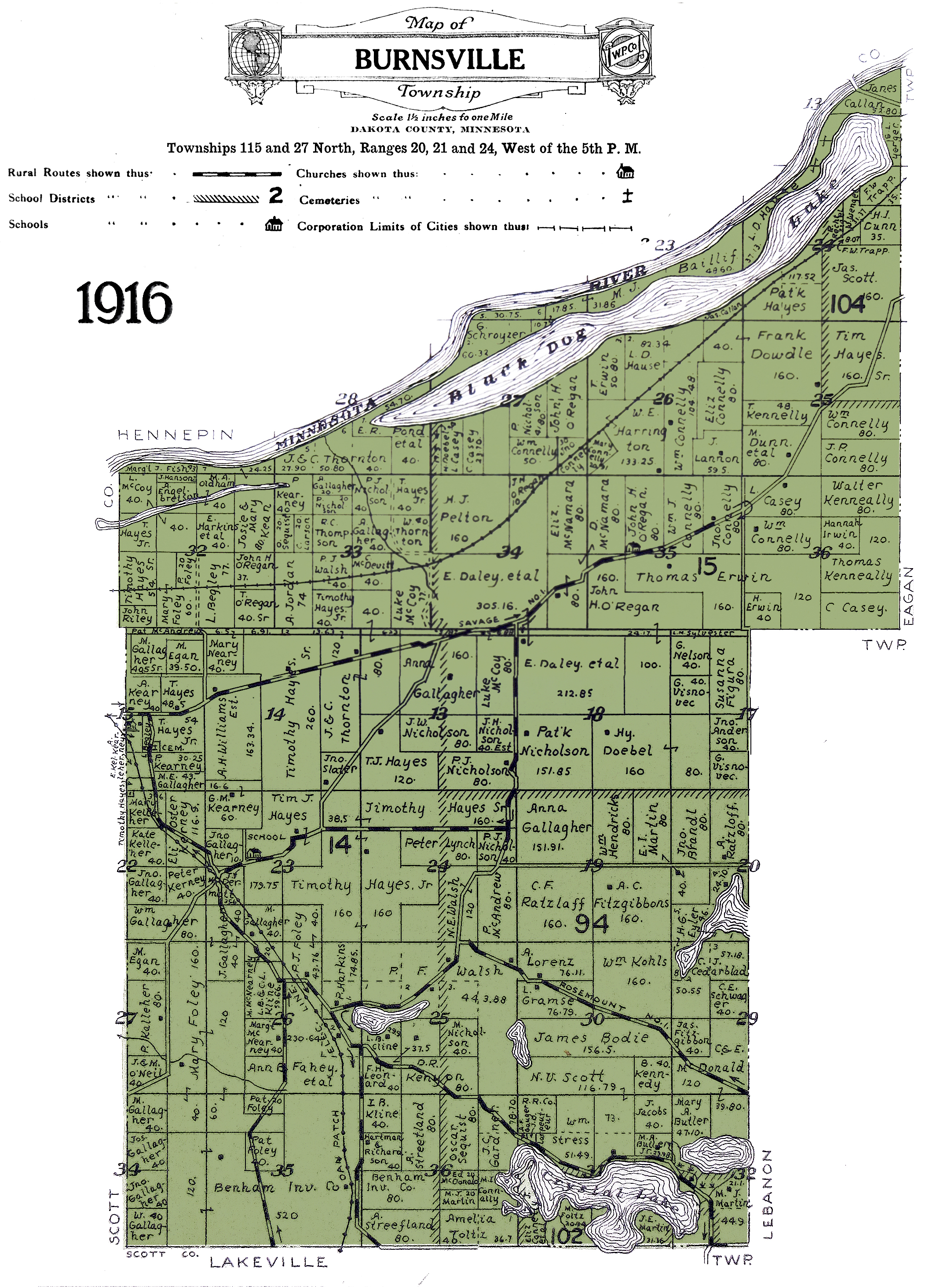
The 1916 Township Plat Map
It's fair to say that this is a big favorite. It invites us to peek back 110 years to see what our neighborhoods were like. The background color makes is attractive also. Don't be surprised to find a hisgtory buff staring at it for lengthy periods.
Incidentally the earliest plat map we have in our collection is from 1879.

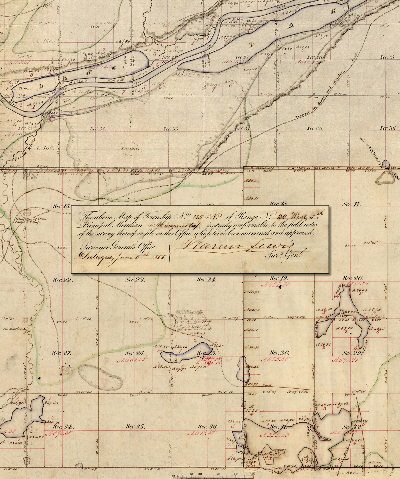
Original Survey 1855
In 1785 the Land Ordinance Act created our rectangular system of surveying. For those of us who grew up in one of the "big square states," land that doesn't fit in a neat rectangle is a little frightening.
The office of U.S. Surveyor General was created in 1796 anticipating westward expansion. A huge amount of information about the first survey of this area can be gained from this map itself.
This map is a composite we've created to encompass the area we now know as Burnsville. The Minnesota work was done from 1848 to 1857.